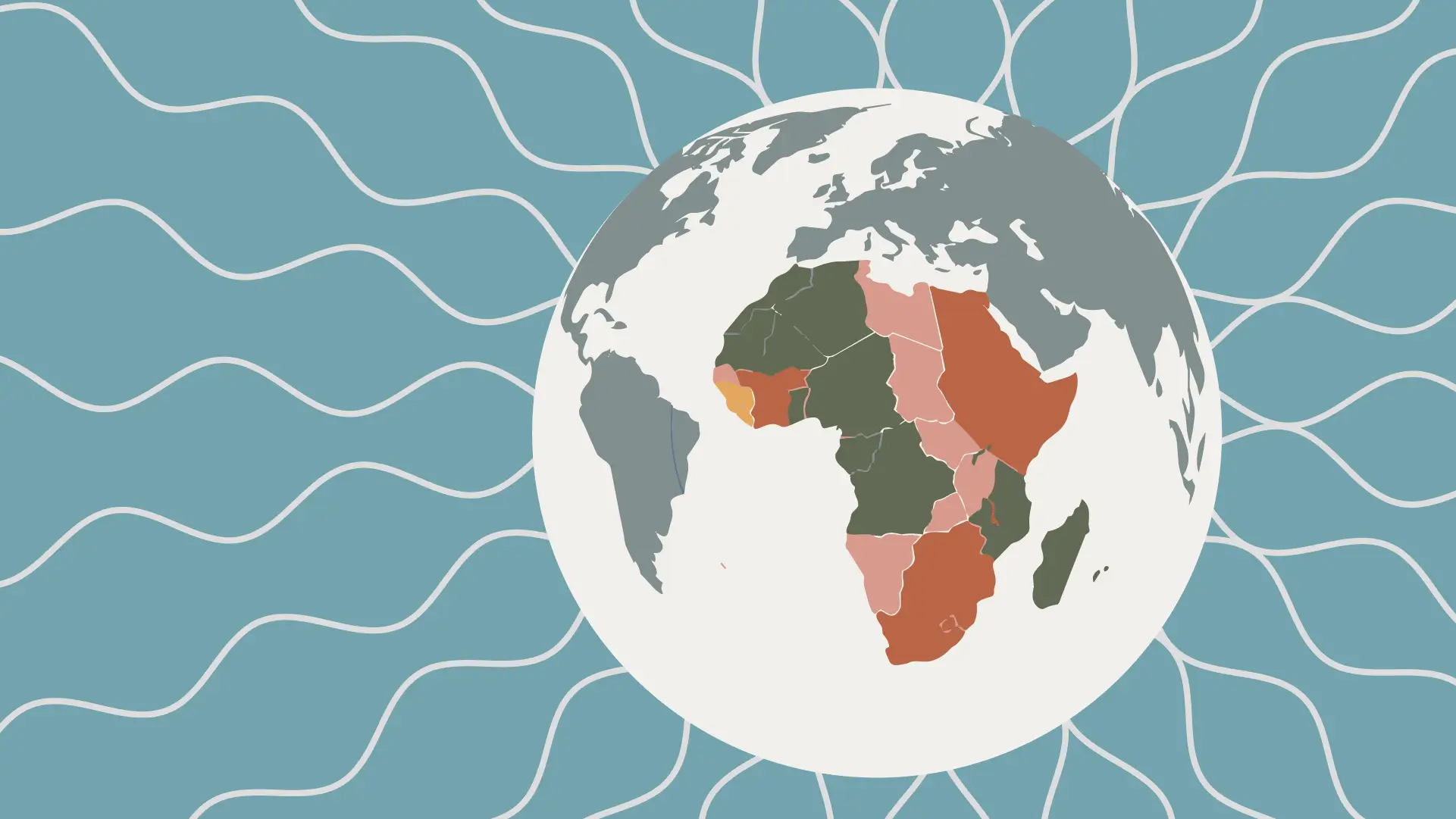
In a landmark move for geographic accuracy and symbolic justice, the United Nations General Assembly has voted to adopt a new world map that shows Africa’s true relative size. The resolution, titled “Correct the Map,” was spearheaded by African member states and passed by an overwhelming margin of 164 to 1 (the US), with six abstentions. It promotes the Equal Earth projection, a modern, equal-area map design, as a more truthful alternative to the centuries-old Mercator projection, which has long diminished Africa’s visual presence on the global stage.
Togo leads a continent-wide call for cartographic justice
The resolution was formally sponsored by Togo, acting on behalf of the African Group at the United Nations and with the full backing of the African Union. Togo’s foreign minister, Robert Dussey, championed the “Correct the Map” campaign, which the African Union had officially endorsed in August 2025. While Togo led the diplomatic push, the initiative enjoyed unified continental support, with all 54 African Union member states co-sponsoring the resolution. This rare show of pan-African unity underscored the continent’s collective demand to correct a visual distortion that has shaped global perceptions for centuries.
Why the map matters: Size, perception and power
On the traditional Mercator map, Africa appears roughly the same size as Greenland. In reality, Africa is about 14 times larger. This distortion has shaped generations of worldviews, subtly reinforcing the idea that Africa is peripheral, smaller and less significant than it truly is.
The Equal Earth projection corrects this by preserving the relative surface areas of continents while maintaining visually pleasing shapes. The result? Africa, Latin America, South Asia and Oceania appear substantially larger relative to Europe and North America than they do on Mercator maps. This visual recalibration is a step toward rebalancing global narratives that have historically underrepresented the Global South.
Navigation, empire and enduring bias: The forces behind the old map
The Mercator projection was created in 1569 by Flemish cartographer Gerardus Mercator to aid European maritime navigation. Its design prioritised straight lines of constant bearing (rhumb lines), which were essential for sailors charting courses across oceans. To achieve this, Mercator stretched landmasses farther from the equator, making regions like Europe and North America appear disproportionately large while shrinking equatorial regions like Africa and South America.
This distortion served the interests of emerging colonial powers, visually centring Europe and minimising the lands it sought to dominate. Over centuries, the Mercator map became embedded in classrooms, atlases, and digital platforms; normalising a skewed worldview that aligned with colonial and later Cold War-era geopolitical hierarchies.
The equal earth alternative
In 2018, cartographers Bojan Šavrič, Tom Patterson, and Bernhard Jenny developed the Equal Earth projection to offer both accuracy and visual appeal. Unlike some equal-area maps that severely distort shapes to preserve size, Equal Earth maintains a balanced, globe-like appearance while ensuring continents are shown in their true proportions.
The UN resolution does not ban the Mercator projection but encourages governments, educational institutions and technology companies to adopt equal-area alternatives like Equal Earth in contexts where accurate size representation matters: such as in education, policy-making and public communication.
A symbolic victory with practical implications
While the resolution is non-binding, its symbolic weight is profound. It affirms Africa’s agency in reshaping global narratives and challenges the lingering cartographic legacies of colonialism. For educators, journalists and content creators across the continent and beyond, it offers a mandate to choose maps that reflect reality rather than biases.
As one Al Jazeera analysis noted, “The new map makes Africa, Latin America, South Asia and Oceania larger than the traditional Mercator projection”. It is a visual correction that aligns with demographic, economic, and cultural realities.
This progressive step invites a reimagining of Africa not as a footnote on the world stage, but as the vast, vibrant, and central continent it truly is.
References
- Reuters: “UN approves resolution in support of map that shows Africa’s true size” (4 September 2026) reuters.com
- The Guardian: “UN votes to adopt new world map that shows Africa’s true size” (10 September 2026) theguardian.com
- BBC: “UN votes to adopt new world map to reflect Africa’s true size” (4 September 2026)
- NPR: “U.N. backs new world map showing Africa in true relative size” (4 September 2026) npr.org
- Deutsche Welle: “UN approves world map reflecting true size of Africa” (4 September 2026)
- Al Jazeera: “How big is Africa really? Why the UN voted to change the world map” (5 September 2026)
- BusinessToday: “UN adopts Equal Earth map: All about Africa’s true size, Mercator distortions and what changes now” (5 September 2026) bbc.com
- Reuters: “Togo to ask UN member states to use map showing Africa’s true size” (14 April 2026) businesstoday.in
- The Independent: “UN votes to adopt new world map that shows true size of all countries” (6 September 2026) bbc.com
- Africanews: “UN General Assembly adopts new world map that shows Africa’s true size” (5 September 2026)
- Africa Newsroom: “United Nations (UN) General Assembly Adopts ‘Correct the Map’ Resolution Co-Sponsored by All 54 African Union (AU) Members Including Zambia” (10 September 2026)